General
Blocks We Love: 2700 South Street


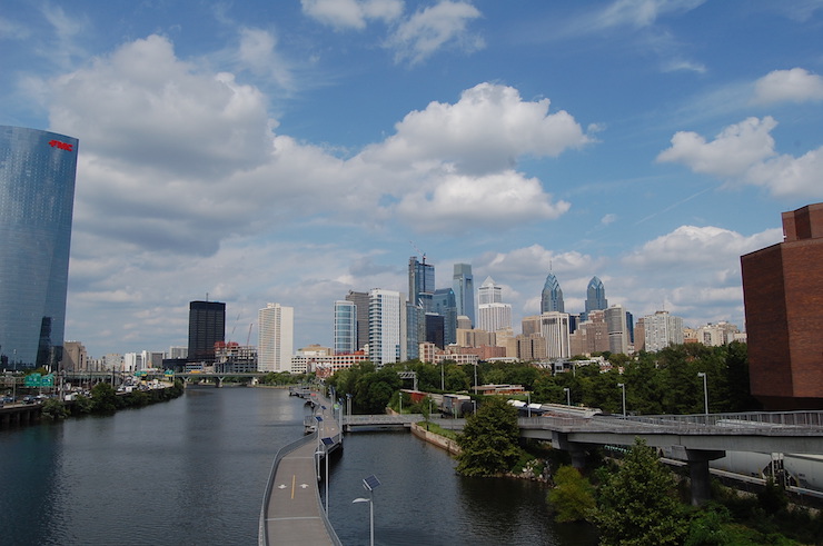
If you’ve ever sat on the fence, unable to decide between bustling downtown living or a more relaxed neighborhood set up, the 2700 block of South Street might peak your interest. Philadelphia is such a great city because it settles somewhere in the middle of skyscrapers, high-rises, and all of the action they denote, and the low-rise, neighborhood scale that comes from the city’s immense stock of rowhomes.
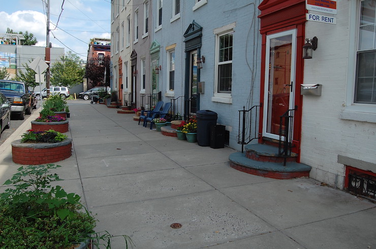
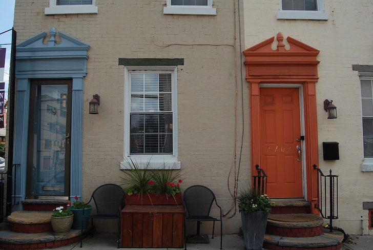
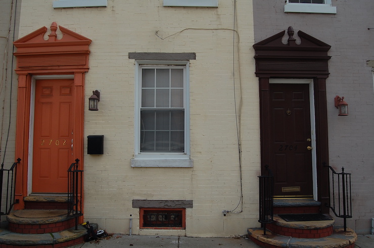
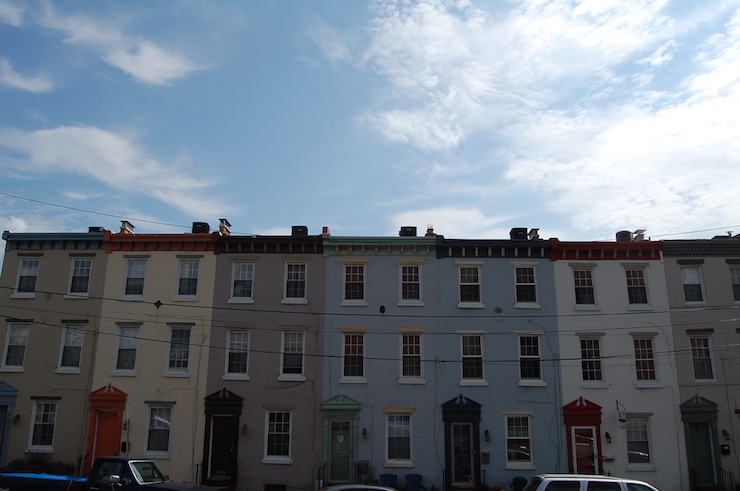
Sometimes referred to as Devil’s Pocket or “The Pocket” for short, this little nook is situated in the middle of beautiful, historic Fitler Square and hip Graduate Hospital, at the nexus where Center City gives way to University City. This stretch of seven petite, colorful rowhomes feels quaint and intimate, yet right in the midst of the beating heart of city living in Philadelphia.
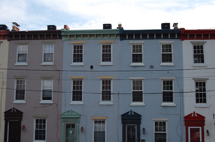
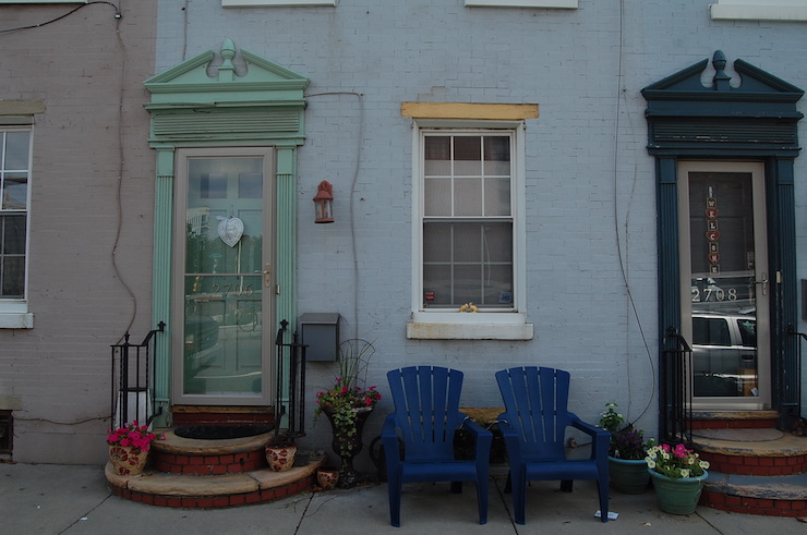
Each home sports a matching door, pediment, and cornice, painted in a color unique from the others in the row. The overall impression is one of cohesiveness. Despite the multitude of hues represented amongst the twelve rowhomes, the uniformity of the doors with their unique pediment and continuous cornice line puts forth the image of a united front.
The simple pediment above each home’s door harkens back to the Colonial period. While it is unlikely that these houses are quite that old, it is possible that they date as far back as 1895. The style of the housing stock, particularly as evidenced in earlier photographs which show simple, unadorned, three-story brick structures, suggests a turn of the century construction. The pediments were likely added at some point in the past half century as a cosmetic upgrade or as part of more significant renovations.
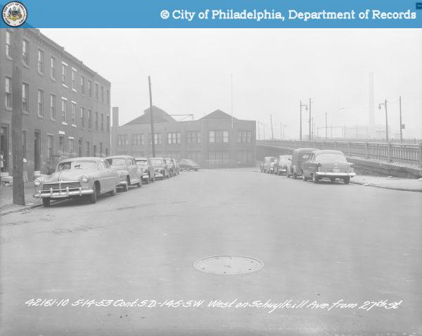
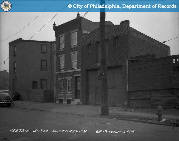
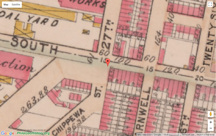
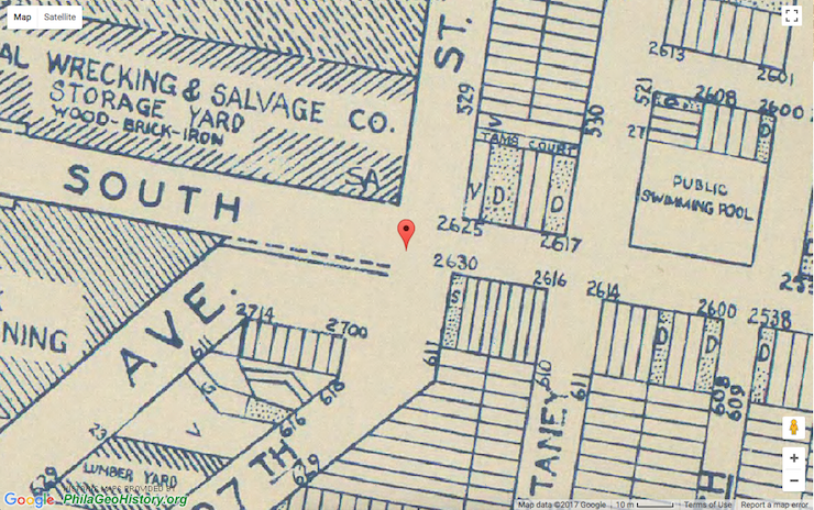
On historic maps of Philadelphia there are parcels indicated on this block as early as 1895, with eight parcels outlined. The correct number of slots, seven, don’t show up until 1942. Possibilities to explain this difference in parcel count include that the homes were combined at one point to form larger properties, the end unit alone was transformed from two to one to compensate for the unconventional angle taken at the corner, or the homes could have been raised and rebuilt entirely. A remaining explanation comes down to a simple error in transcription from on the ground surveying to mapmaking.
Over time, each homeowner has imbued the facades with their own personal flair, through paint colors, “front lawn” furniture, and a variety of well kept plants and flowers.
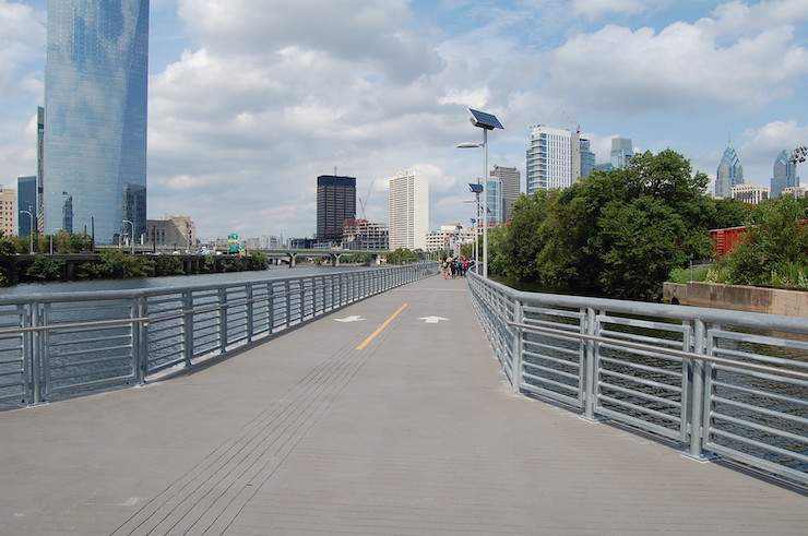
We love this block for its historical significance, charming facades, one of a kind location at the core of three major parts of the city, and proximity to great Philadelphia mainstays like the South Street Bridge, Schuylkill River Trail, and Fitler Square Park.